Rooted in Heritage.
Driven by Accuracy.
WE ARE
Built for the Future.
BASELINE BOUNDARIES &GEOMATICS
Services
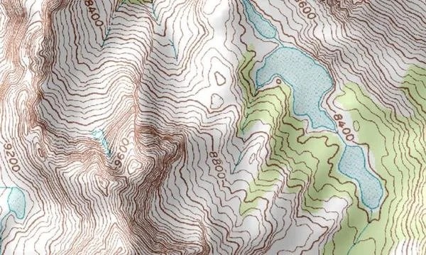
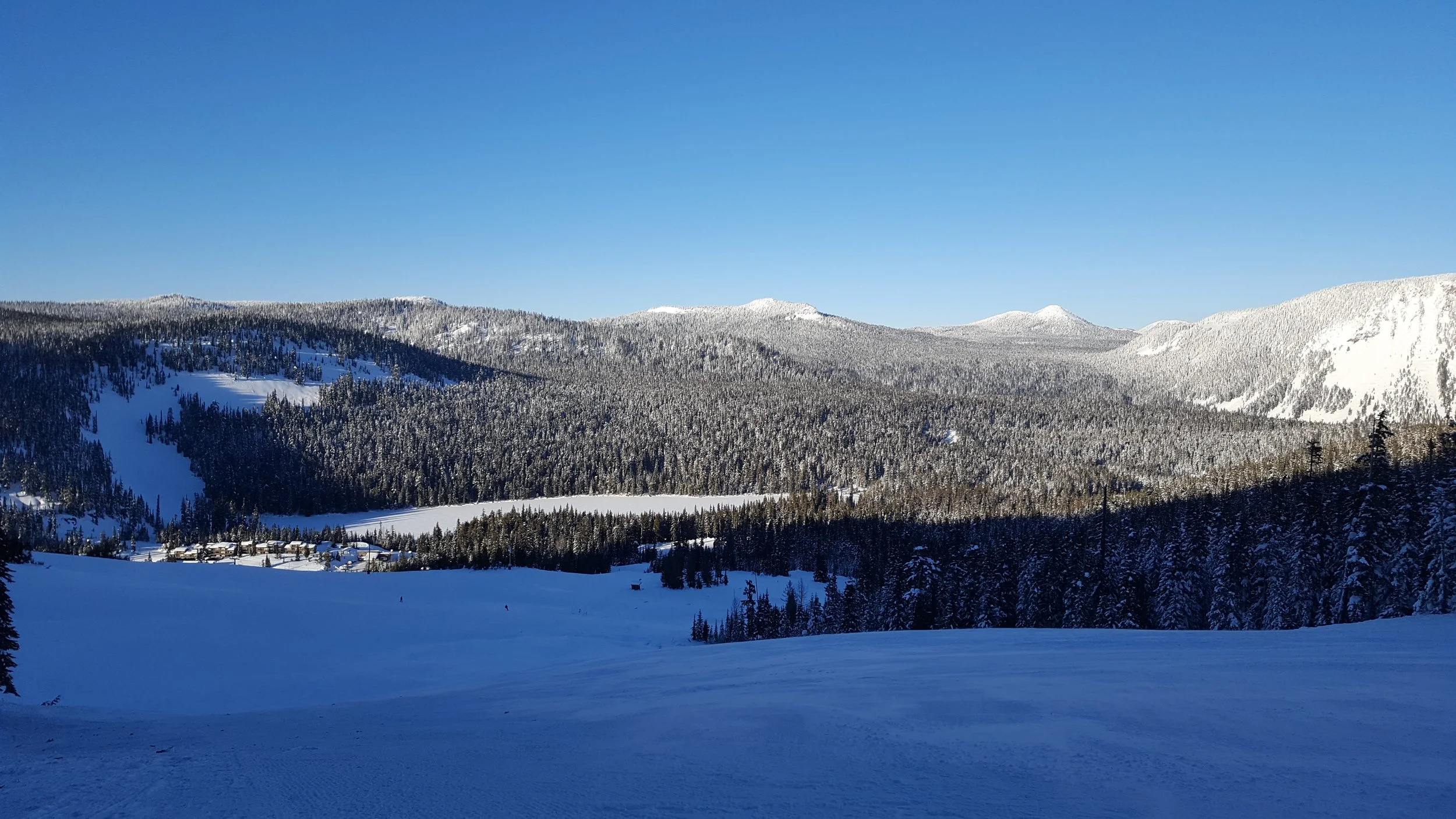
Topographical Surveys
Topographic maps reveal the true character of the land - its contours, elevations, water features, and vegetation - all captured in a detailed, three dimensional view. At Baseline Boundaries and Geomatics, we create topographic maps that do more than show terrain - they empower smart decisions.
Whether you are planning a development, designing infrastructure, or assessing land use, our maps provide:
Accurate Elevation Data for Grading and Drainage
Visual Representation of Natural and Built Features
Critical Insights for Construction, Engineering, and Environmental Planning
Whether you're dividing land for development, sale, or legacy planning, Baseline Boundaries & Geomatics delivers the precision and documentation you need to move forward with confidence. We specialize in subdivision and short plat services that meet local jurisdictional requirements while honoring the unique character of your property.
Our services include:
Exhibit Maps – Professionally drafted visuals that clearly communicate proposed divisions, easements, and access routes for planning approvals and public hearings.
Plot Plans – Scaled site layouts that integrate zoning setbacks, utilities, and topographic features—ideal for builders, architects, and permitting agencies.
Records of Survey – Legally recorded documents that establish or retrace property boundaries, ensuring your subdivision is properly documented and defensible.
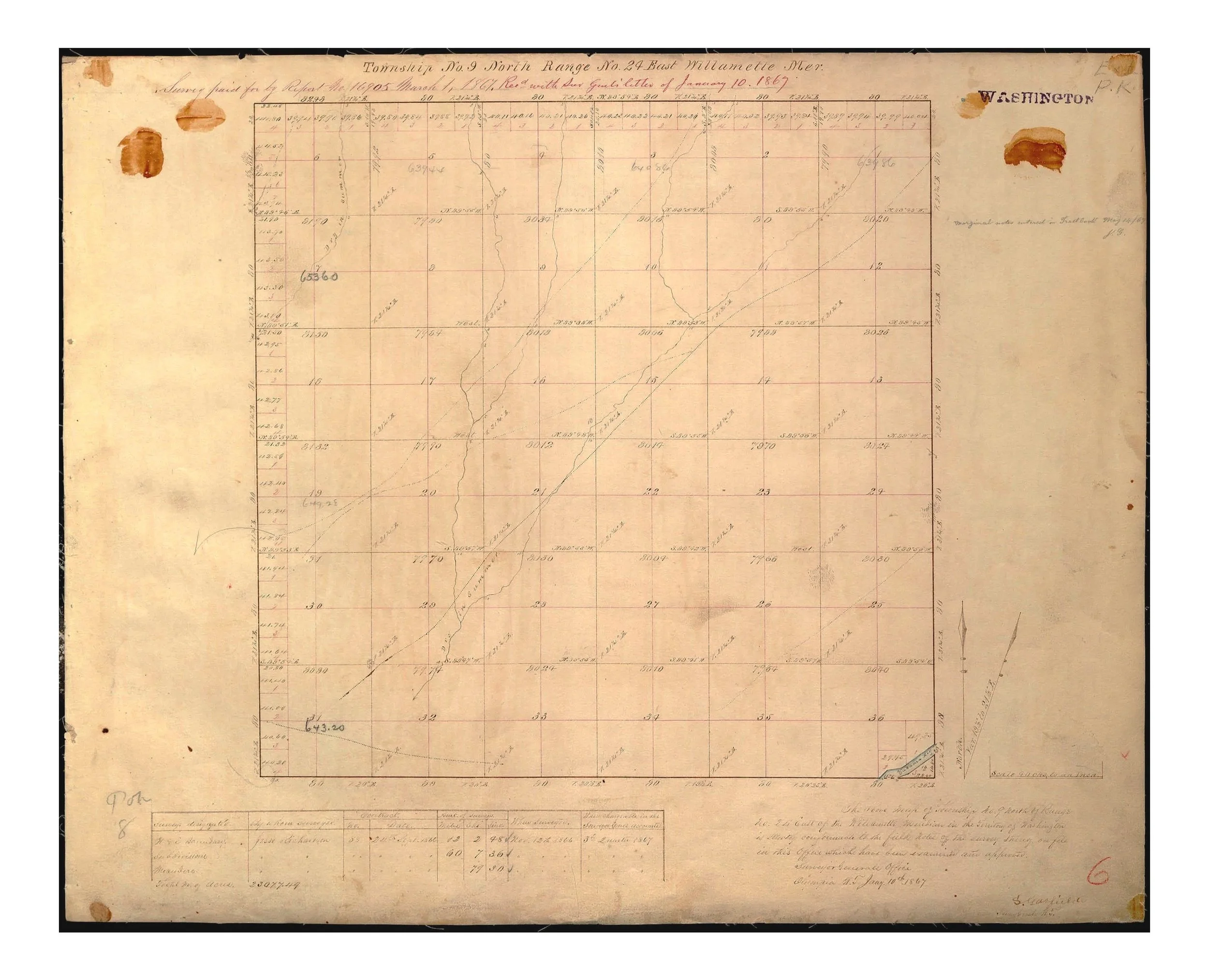
With deep knowledge of Washington’s land use codes and a strong foundation in PLSS principles, we bridge the gap between vision and regulation. Every map we produce is more than a technical deliverable—it’s a tool for progress, rooted in accuracy, clarity, and local insight.
Cadastral & Boundary Surveys

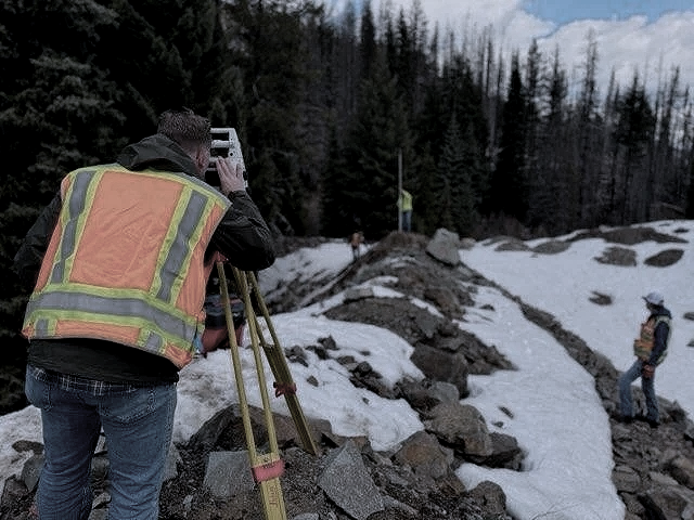
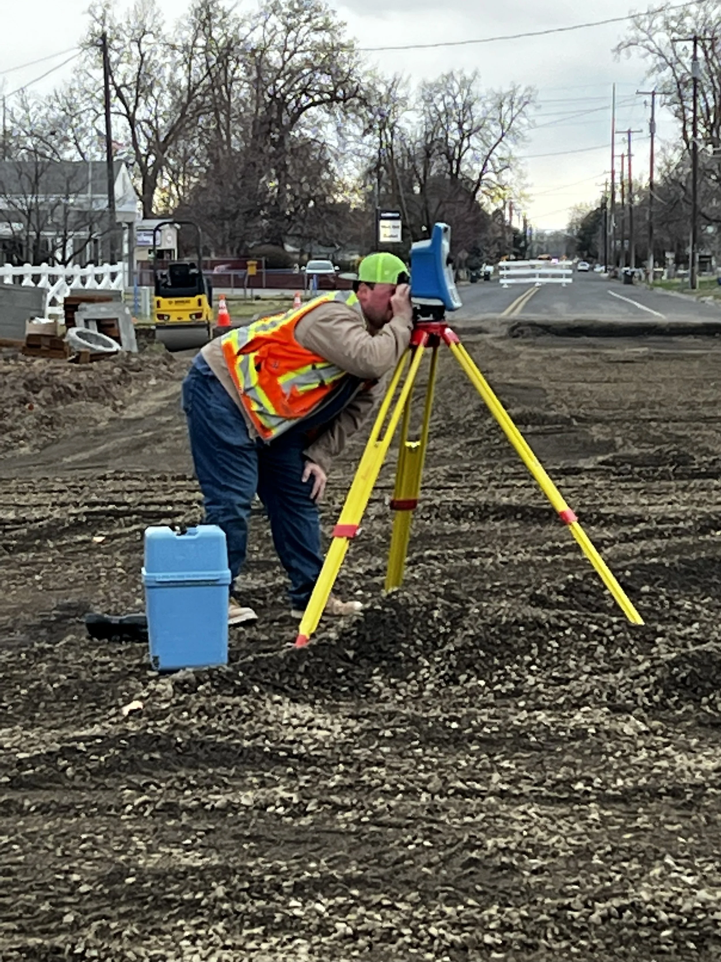
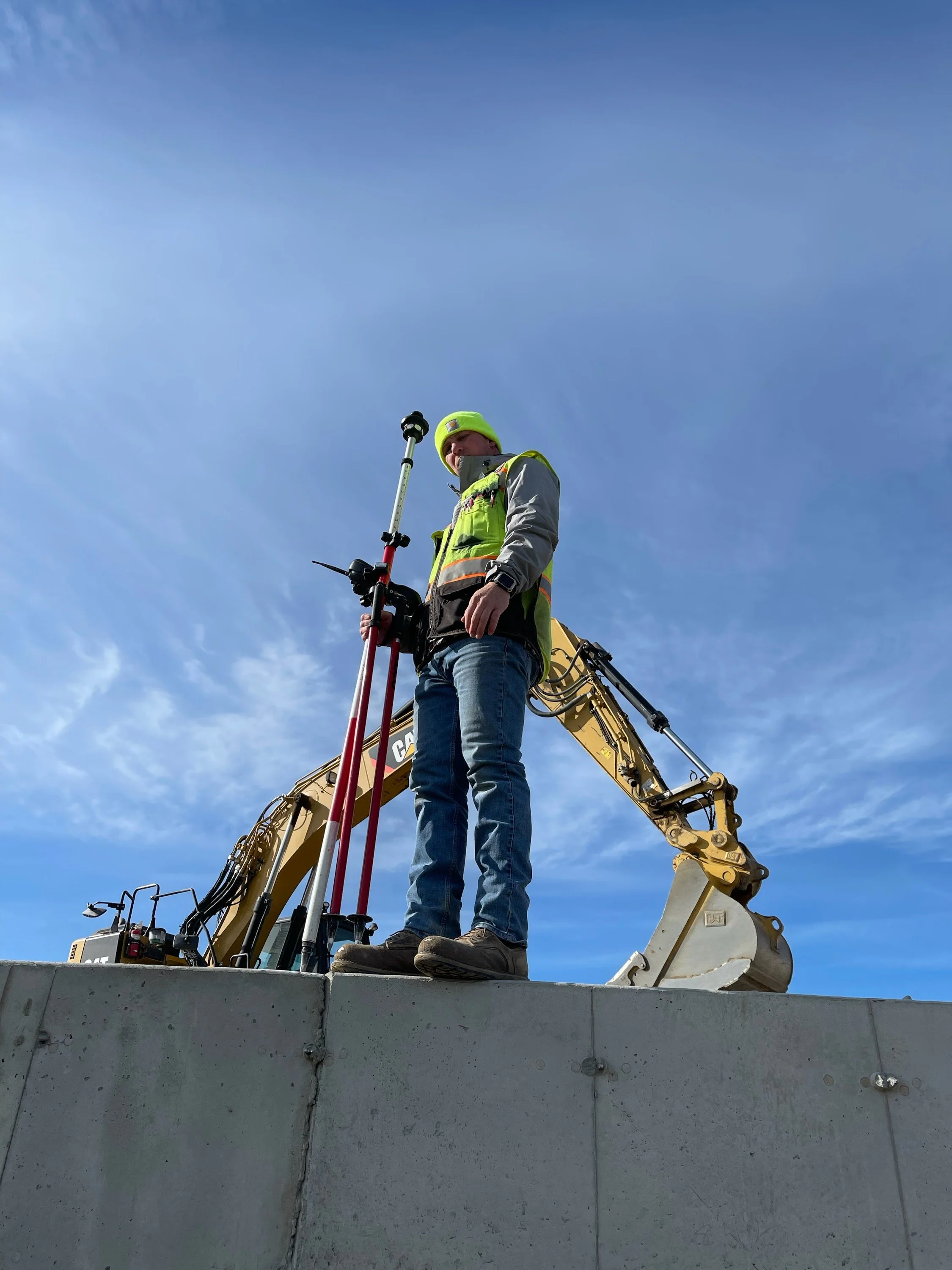
Construction Surveys
We deliver expert construction surveying services across Washington State. We partner with developers, contractors, and excavation teams to ensure every project starts - and finishes- on solid ground.
Our services include:
Construction Staking: Accurate placement of foundations, utilities, and site features
Grade Verification: Top of rock, red/blue topping, and elevation checks for cut/fill precision
As-Built Surveys: Documenting completed work for compliance and future planning
Monitoring & Layout: Ongoing site control and layout for phased construction
Building Staking: Footprint, wall, and anchor bolt layout for residential and commercial builds
Quantity/Volume Calculations
Machine and Aerial Mapping Control
When the margins are tight and the stakes are high- precision isn’t optional. It’s you competitive edge.

We deliver ALTA/NSPS - compliant Lant Title Surveys that give buyers, lenders, and title companies the confidence they need to move forward. Whether you're acquiring property, securing financing, or preparing for development, our surveys provide the legal clarity and spatial precision your project demands.
What is a Land Title Survey?
A Land Title Survey is a detailed boundary and improvement survey that meets national standards and supports real estate transactions. It identifies:
Property boundaries and corners
Easements, encroachments, and rights-of-way
Improvements, fences, and visible utilities
Access points, zoning setbacks, and flood zone
ALTA Surveys

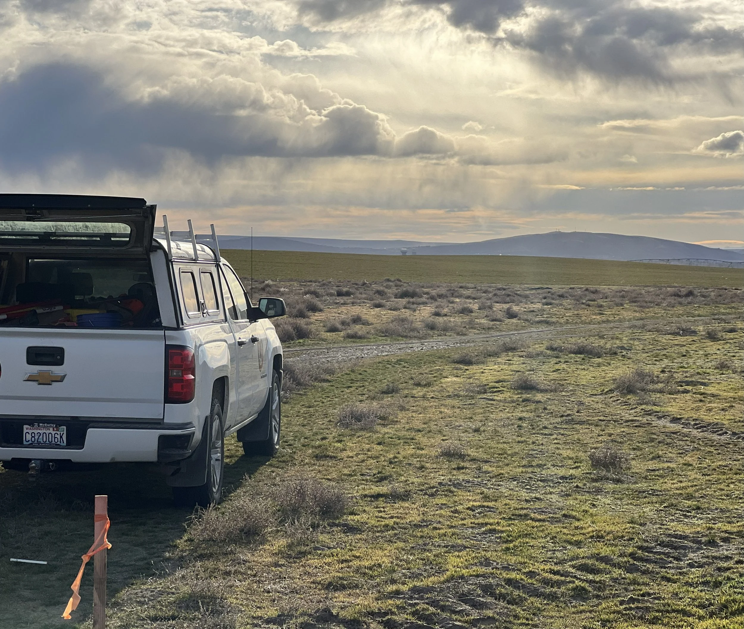
Control - Machine & Aerial
In Construction and Mapping, precision starts with control. We work hard to establish high- accuracy control networks that power machine guidance systems and aerial survey workflow - ensuring your equipment and data stay locked onto reality.
Whether you are grading with GPS- enabled machinery or flying drones for topographic capture, our control points are built to last, verified to preform, and aligned with your project’s coordinate system.
Our service include:
Machine Control Setup: Ground control tailored for GPS-guided dozers, excavators, and graders
Aerial Mapping Control: Survey-grade targets and checkpoints for drone photogrammetry and LiDAR
Coordinate System Calibration: Local site adjustments for seamless integration with design files
Long-Term Stability: Durable monuments and benchmarks for multi-phase projects
Our Vision
At Baseline Boundaries and Geomatics, we honor the legacy of the Willamette Meridian Baseline and carry it forward with modern precision, integrity, and innovation.
We’re not just mapping land; we are retracing history, restoring clarity, and redefining boundaries for the next generation. From the Mouth of the Columbia River to the White Bluffs of Eastern Washington, our work reflects the grit, beauty, and purpose of the region we serve.
Rooted in Heritage. Driven by Accuracy. Built for the Future.
Follow us on social
Contact Us
Interested in working together? Fill out some info and we will be in touch shortly. We can’t wait to hear from you!